Weather
Frost Warning: Finnish Roads May Be Slippery Before Rain Returns
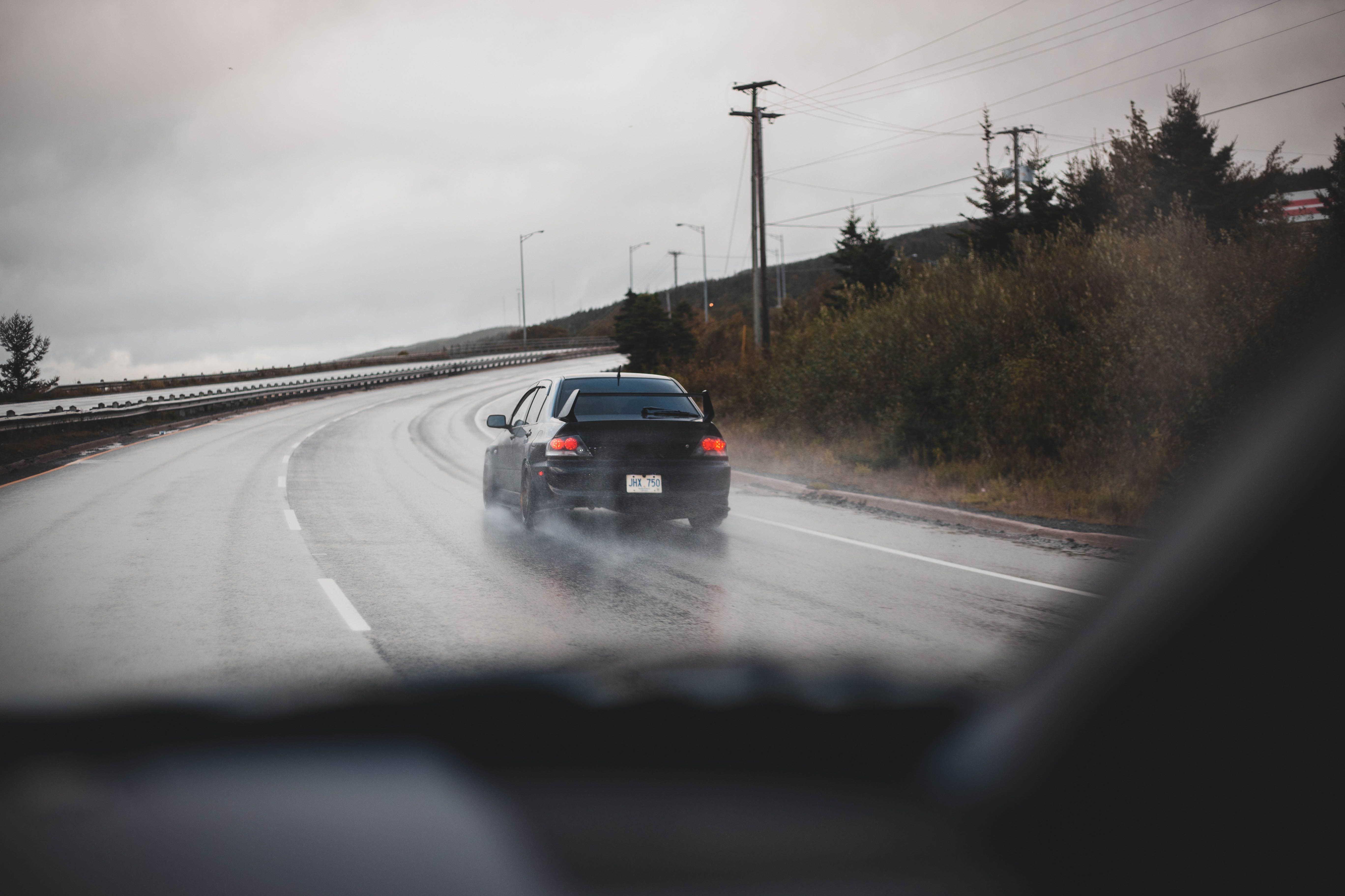
Drivers in Finland should be careful on Tuesday morning. Frost could make roads dangerous, especially in the central and northern parts of the country.
What Is Happening?
Overnight temperatures will drop close to freezing. Clear skies and light winds will allow the air to get colder. Frost may form on roads where the surface temperature falls below zero. This makes driving dangerous.
Where Is the Risk Highest?
The risk of slippery roads is highest in central and northern Finland (the middle and top parts of the country).
Bridges are among the most dangerous places. Bridges often get colder than normal roads and can freeze faster.
Fog is also expected in some areas overnight. The fog may stay for a while on Tuesday morning.
What Will the Weather Be Like on Tuesday?
Tuesday will be dry in most of Finland. Many places will see sunshine. Lapland (the northernmost region) will be cloudier.
Daytime temperatures will be:
· 13–16°C in southern and central Finland
· 9–14°C in the north
When Will the Rain Come?
The weather will change on Wednesday. A high-pressure area will move away, and southerly winds will get stronger.
Clouds will spread from the west during the day. Then, a large area of rain will move across the country.
This is the start of a wetter period. Rain is expected every day from Wednesday through the rest of the week.
Between Wednesday and Sunday, most of Finland will get 20–30 millimetres of rain. Some places could get up to 40 millimetres.
Even with the rain, daytime temperatures will not change much from Tuesday's levels.
Driving Safety Tips
If you must drive on Tuesday morning, remember these tips:
· Slow down. Frost can be hard to see.
· Be extra careful on bridges. They freeze first.
· Keep a safe distance from the car in front of you.
· Use winter tyres if conditions require them. In Finland, winter tyres are mandatory from November to March when the weather demands it.